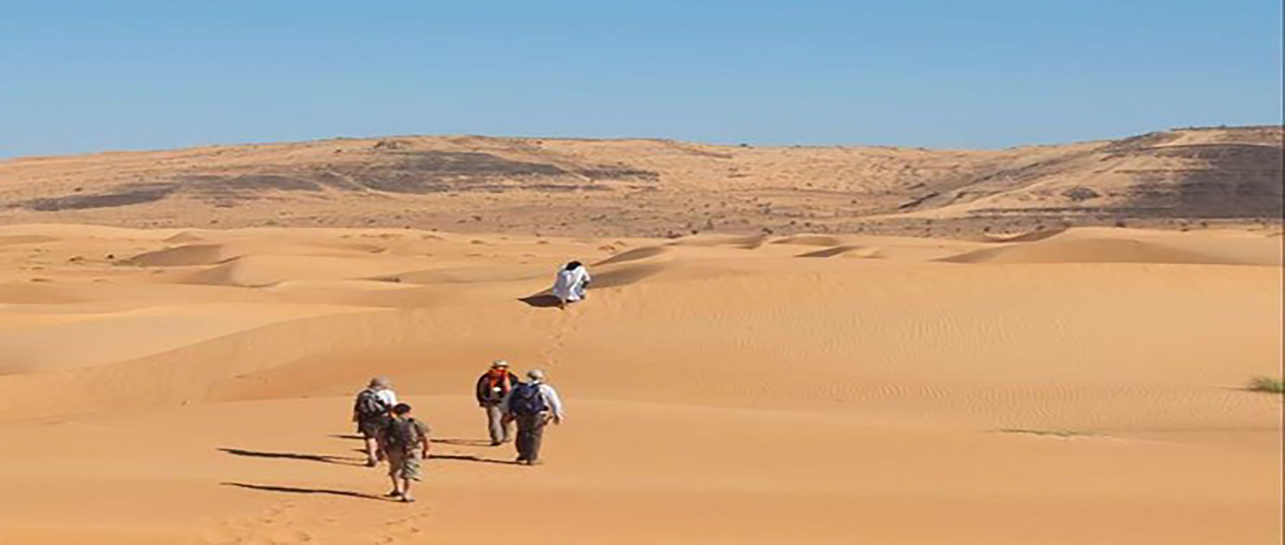
Exploring Eastern Adrar on Foot
This tour is an exceptional journey through one of Mauritania’s most beautiful regions; this area is also considered a true open-air museum. We will travel from Aderg to Ouadane, passing through Mauritania’s largest Paleolithic site (El Beyed), then Guelb Er Richat (a true geological enigma), and Agouieidir…and more.
This tour is a loop around Ouadane.
Highlights: Ouadane – Chinguetti – Guelb Er Richat – El Beyed – the pace of the camel caravan – overnight camps.
J 1 Paris - Atar
Departure from Paris (charter flight) to Atar. Meal and overnight stay at the Auberge du Bonheur.
J 2 Atar - Chinguetti - Ouadane
Early morning departure for Ouadane, via Chinguetti, along a rough track. Visit to the ancient city of Chinguetti and its surroundings.
“Chinguetti has about ten libraries, four of which are open to the public. Some items in these collections date back to the 11th century, including some written on gazelle skins. Most of these works deal with religion and the Quran, but many cover science, geometry, or literature.
The city has been listed as a UNESCO World Heritage Site since 1996.”
Dinner and overnight stay in a camp near Ouadane.
J 3 - J 8 Ouadane - Agmakoum
Head due west from Ouadane across the plateau toward Agmakoum Canyon, passing through the Ivenouan wadi.
J 9 Agmakoum – Neytiri
We leave Agmakoum Canyon and head toward Neytiri’s Well. Camp
J 10 Neytiri - Aderg
Hike through the Makteir and climb the Aderg inselberg. Return to camp for a picnic. Short walk in the afternoon and camp in the erg north of the inselberg.
J 11 Aderg - Bouguerba
We leave the erg behind us and walk along a flat stretch of sand toward Hassi Bouguerba. Camp.
J 12 Bouguerba - Tazazmout
We continue our hike northeast, still following the ridge toward the tip of Tazazmout. Camp.
J 13 Tazazmout - Lekneibess
Heading east, we continue our journey between the Erg Makteir and the Adrar Plateau. We set up camp at Lekneibess.
J 14 Lekneibess - El Beyed
Early morning departure for El Beyed, where we arrive around noon. We set up camp on a dune north of the village, right next to the well. We visit the prehistory museum and the rock art site. We meet with the semi-nomadic residents of El Beyed. Overnight in camp.
J 15 El beyed - Oued N'mour
We set off toward Oued N’mour, heading due south. After climbing the Thnaya Pass, the flat plateau of Azilal stretches out on the horizon. We camp at Oued N’mour.
J 16 Oued N'mour - Tililit
We continue our journey across the reg, heading southeast, and take a steep camel trail that leads us to the Tililit spring. A site with rock carvings. Campsite.
J 17 TILILTI - Camp boisé (Guelb Er Richat)
From Tililit, we head toward Guelb Er Richat, passing through the Akerdeil Plain, which we cross to reach the first “Richat: Aile,” a circular mountain in the Guelb.
We camp in the center of the Guelb, near the “wooded camp” nicknamed the Diocese of Théodore Monod.
Guelb Erichat is an exceptional geological site nicknamed “the Eye of the Earth” or “the Eye of Africa.”
A true geological enigma, long believed to be the impact site of a giant meteorite, this cluster of concentric ridges is truly exceptional!!
"The most widely accepted explanation is that a magmatic dome formed at the intersection of fault lines approximately 100 million years ago and ceased growing before the dome could become a volcano. The ancient Cambrian sandstones, uplifted by the dome’s formation, were subsequently shaped by fractures and erosion to create this system of concentric cuestas that today gives Richat its somewhat mysterious character. After initially interpreting it as an astrobleme (a meteorite impact structure), geologists considered a symmetrical uplift (a circular anticline). But Th. Monod, who studied this phenomenon with several colleagues, published, nearly half a century ago (Monod and Pomerol, 1973), hypotheses very close to the explanation commonly accepted today. Thus, since around 1980,
it has been established that the Richat Structure is an “alkaline complex” resulting from a specific type of volcanism dating back 100 million years (Cretaceous: late Mesozoic era) that created a magmatic dome associated with hydrothermal activity (circulation of very hot water under extremely high pressure) This complex formed during the opening of the Atlantic Ocean.”
J 18 Richat (camp boisé) - Agoeuidir
Still heading due south, we leave the “wings” via a pass, heading toward Hassi Dhiba (the jackal’s well), on the southern edge of the Guelb Er Richat. We camp near the ruins of the Portuguese fort at Agouieidir, which some attribute to the Moroccan sultans who kept an eye on the prosperous caravan town of Ouadane.
J 19 Agoeuidir - Mayeeteg
We continue our hike through the beautiful dunes of the Erg Ouarane, heading due south toward the Mayaateg depression.
We set up camp near the Mayaateg palm grove.
J 20 Mayeeteg - Ouadane
From Mayaateg, we head to the historic town of Ouadane, northwest of Mayaateg.
Ouadane means “the two wadis” (two valleys): the wadi of knowledge, which is the city due to its many scholars, and the wadi of dates. Ouadane is the city that introduced the date palm to Mauritania about 1,400 years ago, and it is home to more than eighty varieties of date palms.
J 21 Ouadane - Atar
Return transfer. Tour of the old town of Ouadane. Departure for Atar in the early afternoon.
Overnight stay at the Auberge du Bonheur.
J 22 Off to France.